FAA Part 107 Certified | 7 Years Flight Experience
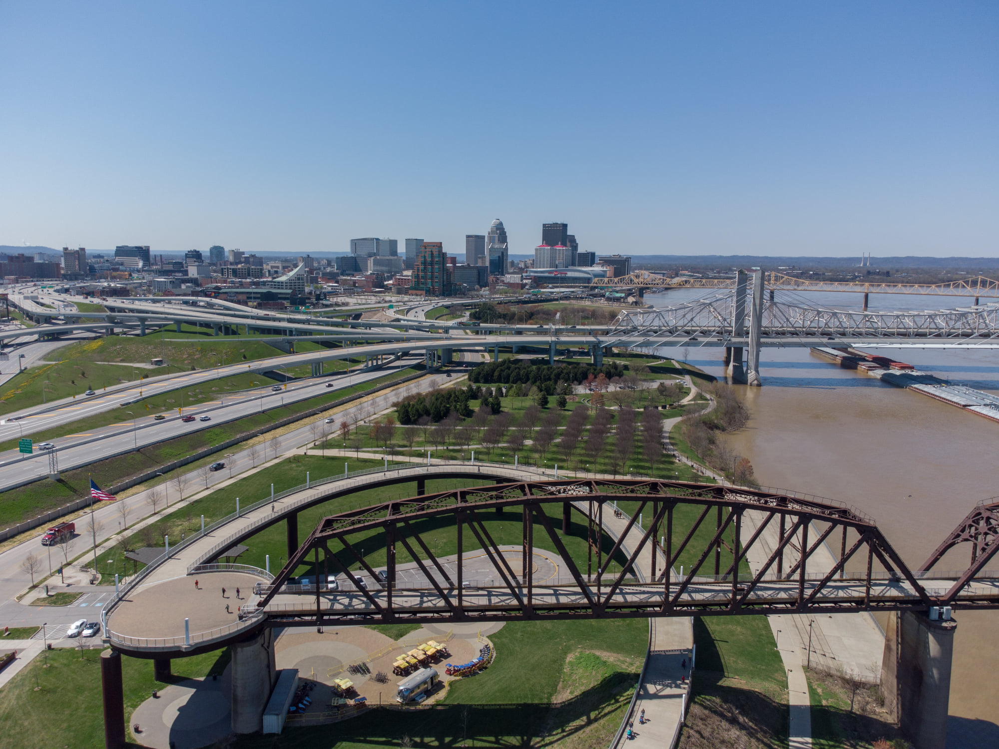
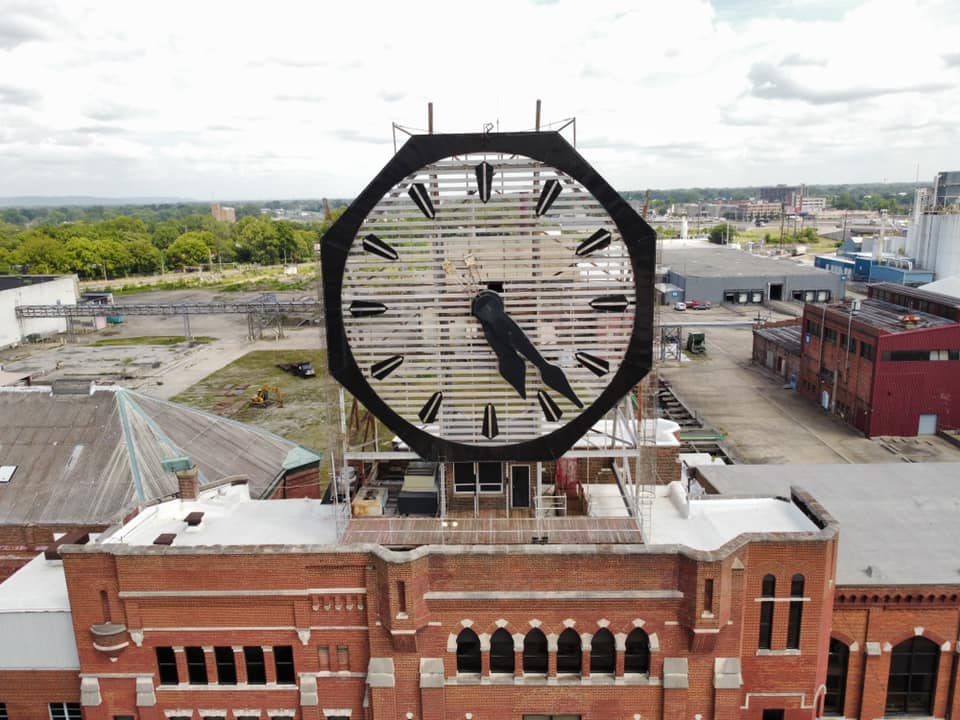
Request a Free QuoteProviding high-resolution 4K aerial photography, cinematic videography, and technical infrastructure inspections. From historic Louisville landmarks to complex industrial rail yards, we deliver perspectives that ground-based cameras can't reach.
Cinematic fly-throughs and high-altitude stills for commercial and luxury residential listings.
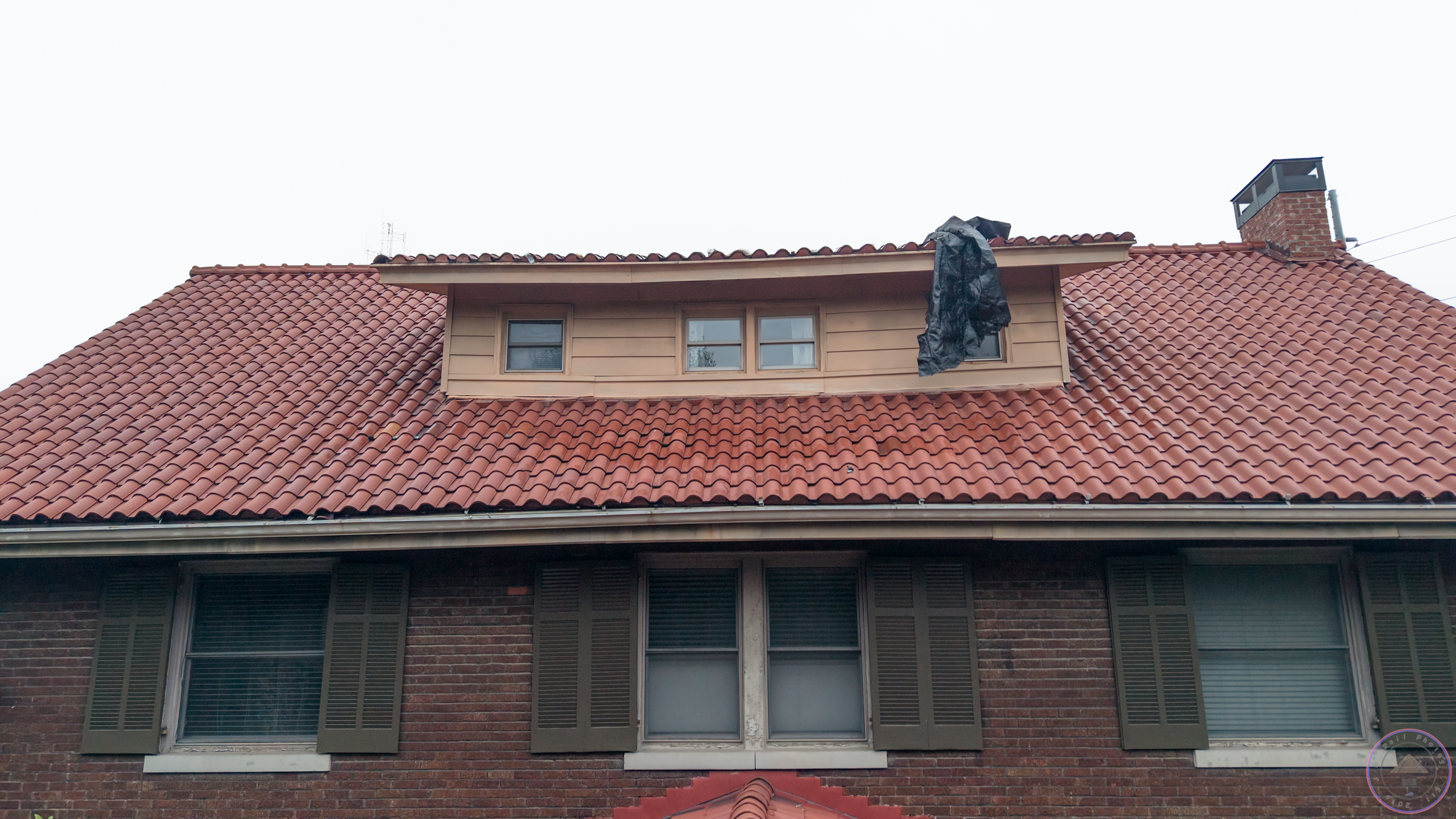
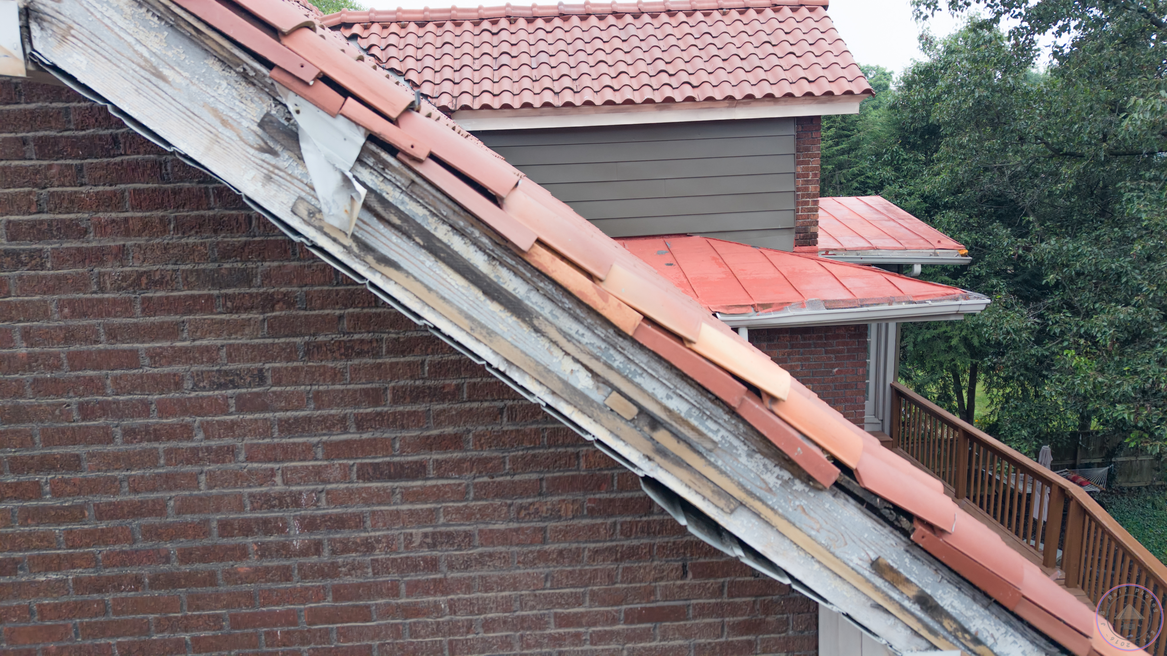
Close-up, high-resolution roof surveys for storm damage claims, pre-listing checks, and maintenance planning — no ladder required.
Specialized documentation for rail logistics and large-scale industrial fleet management.
Standard flat-rate tiers and custom project brackets
For larger estates, luxury listings, or multi-acre land
| Property Scope | Deliverables | Rate |
|---|---|---|
| Under 2,500 sq ft | 10–15 High-Res Stills | $195 |
| 2,500 – 4,000 sq ft | 15–20 Stills + Location Callouts | $250 |
| 4,000+ sq ft / Acreage | 20+ Stills + 60s Cinematic Video Reel | $350+ |
| Build / Site Progress | Custom Stills + Site Orbit Video | $300 / visit |
A showcase of our 4K aerial captures across the Commonwealth
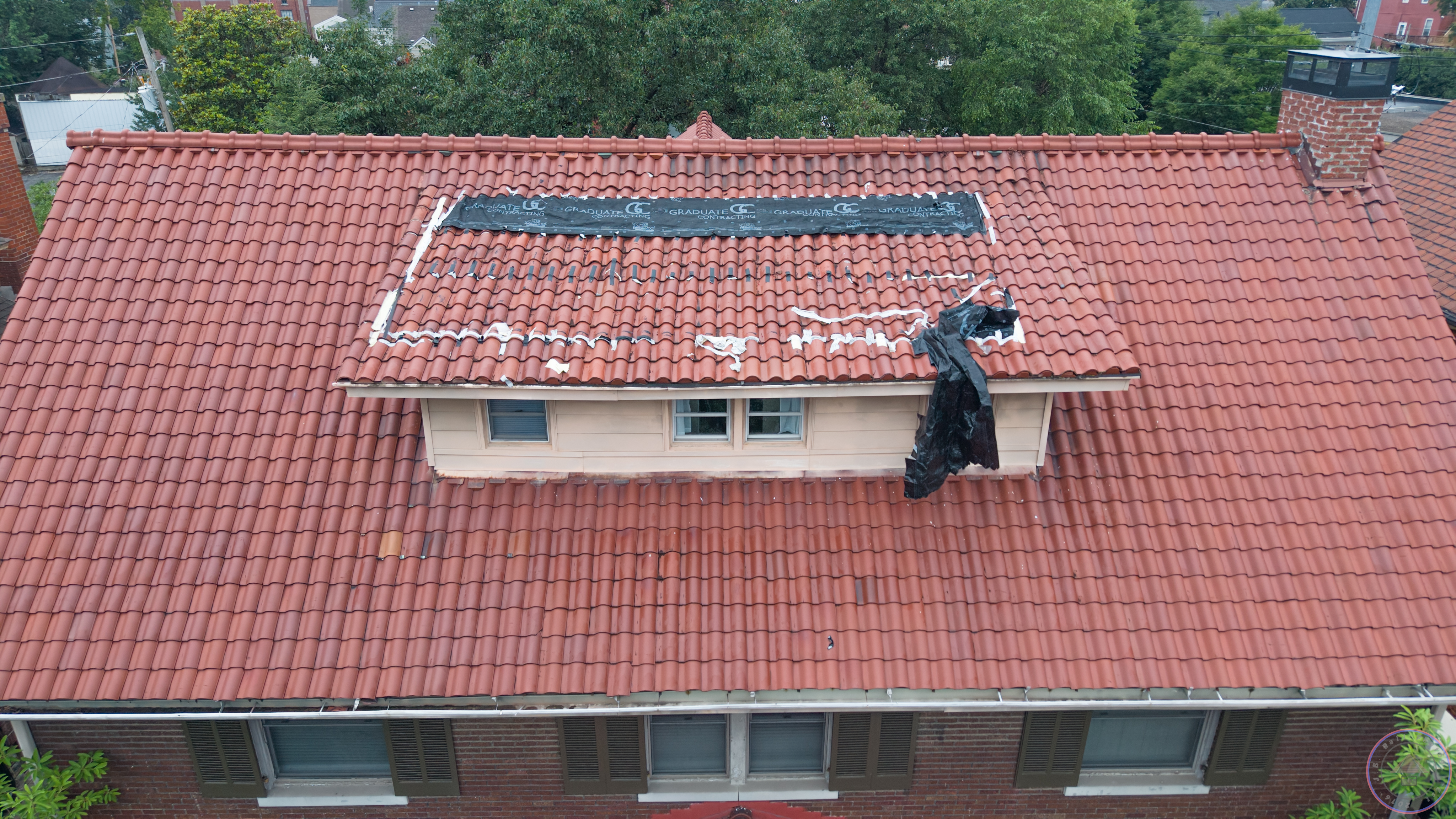
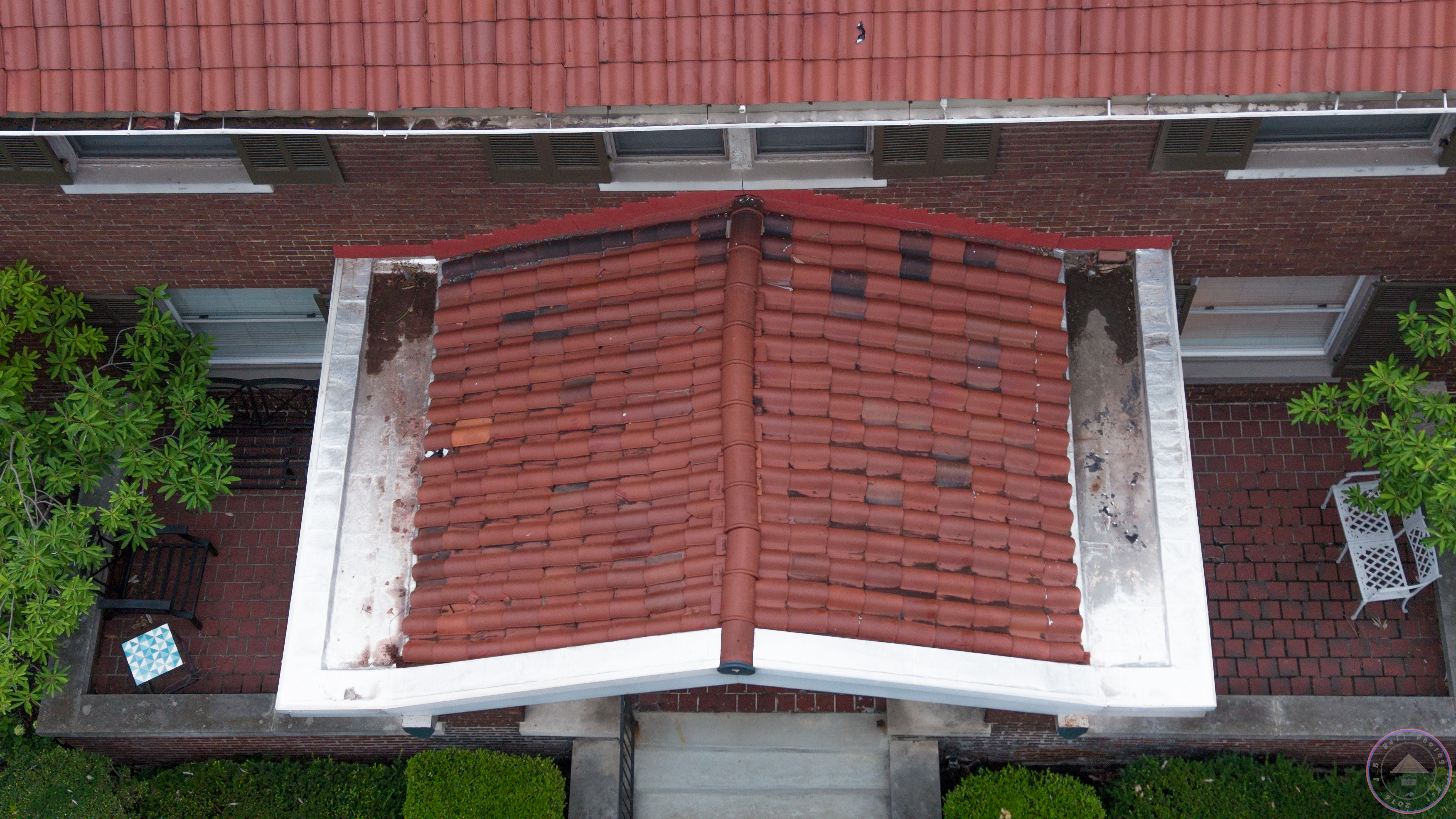
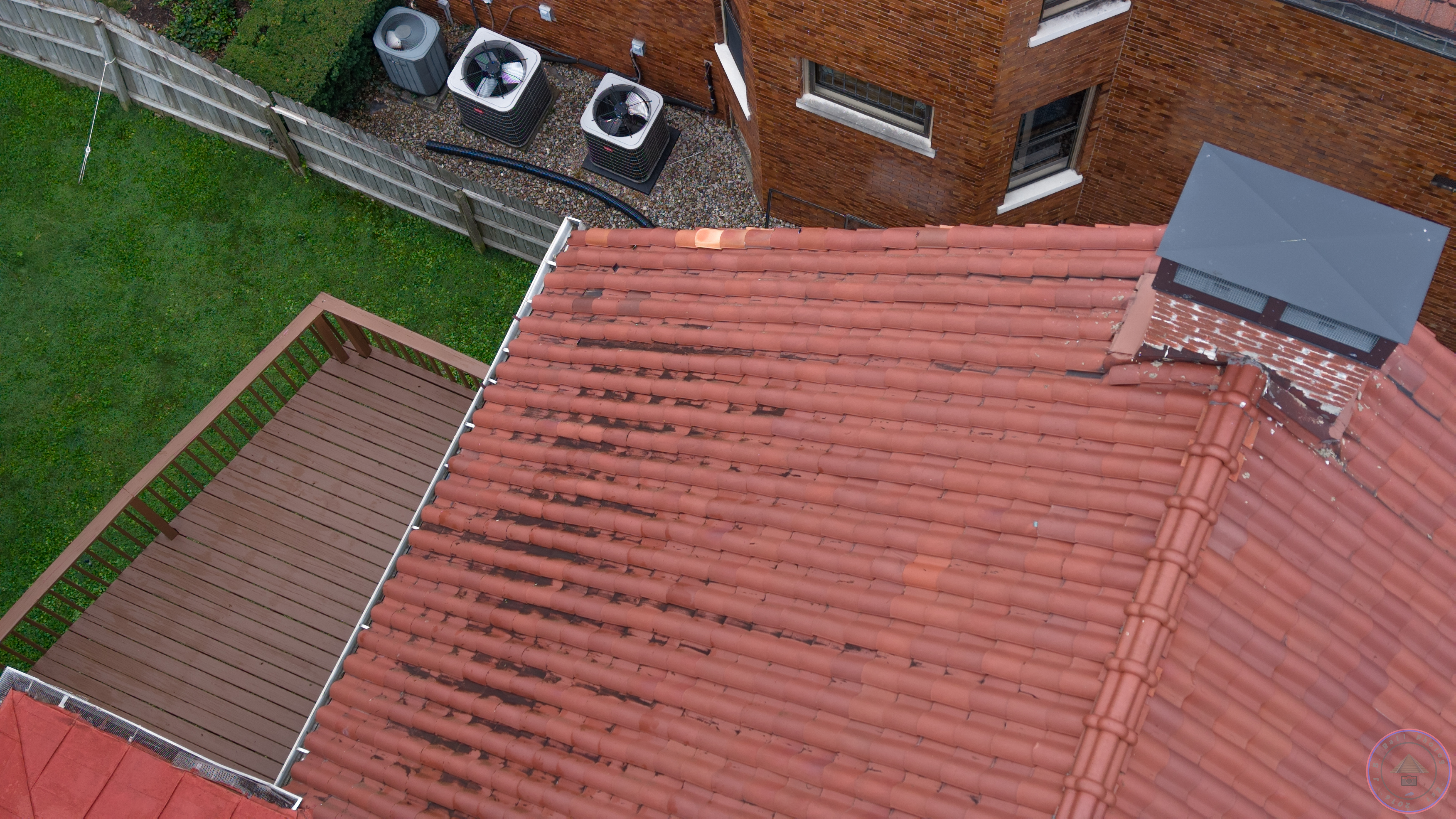
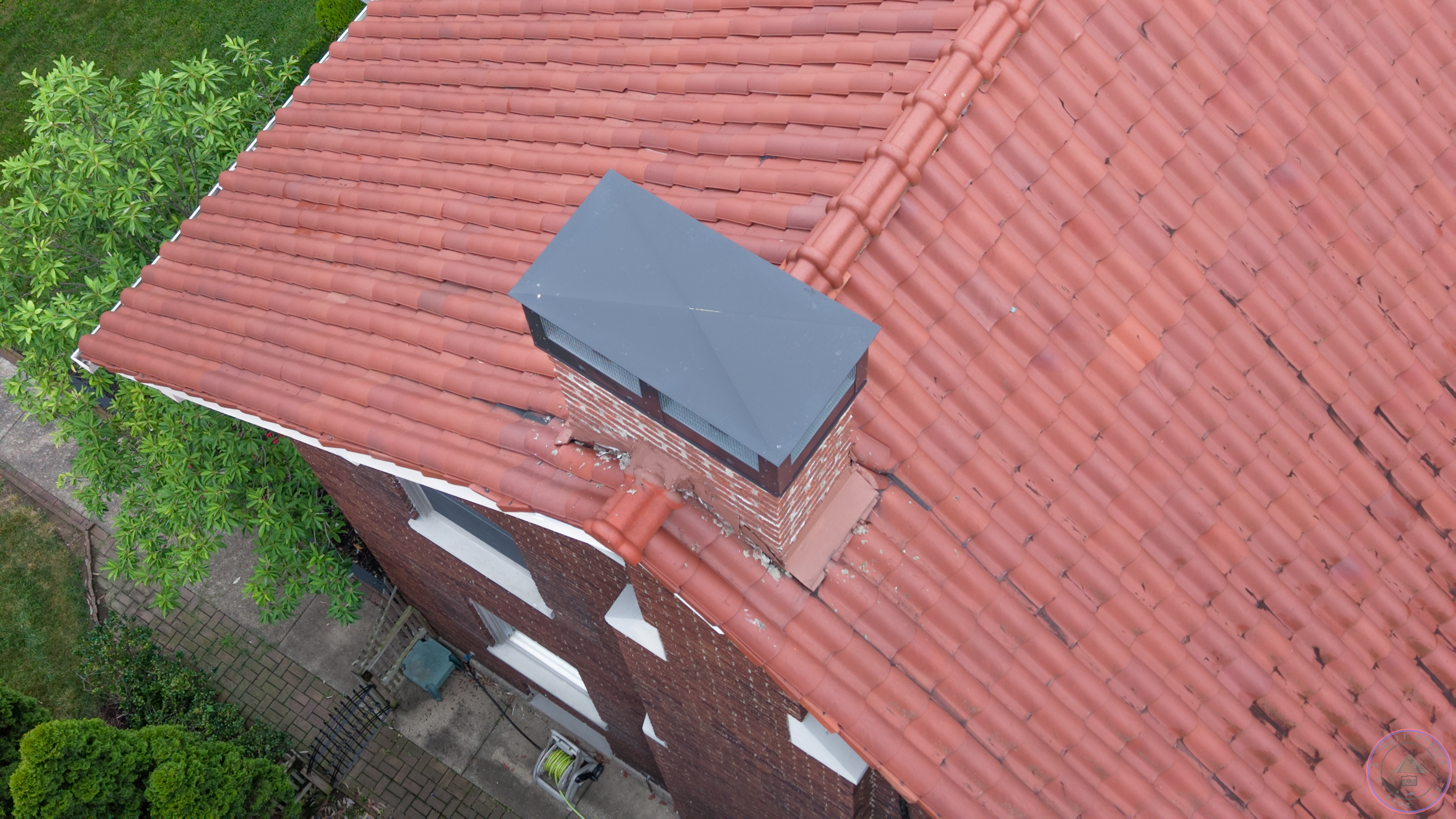
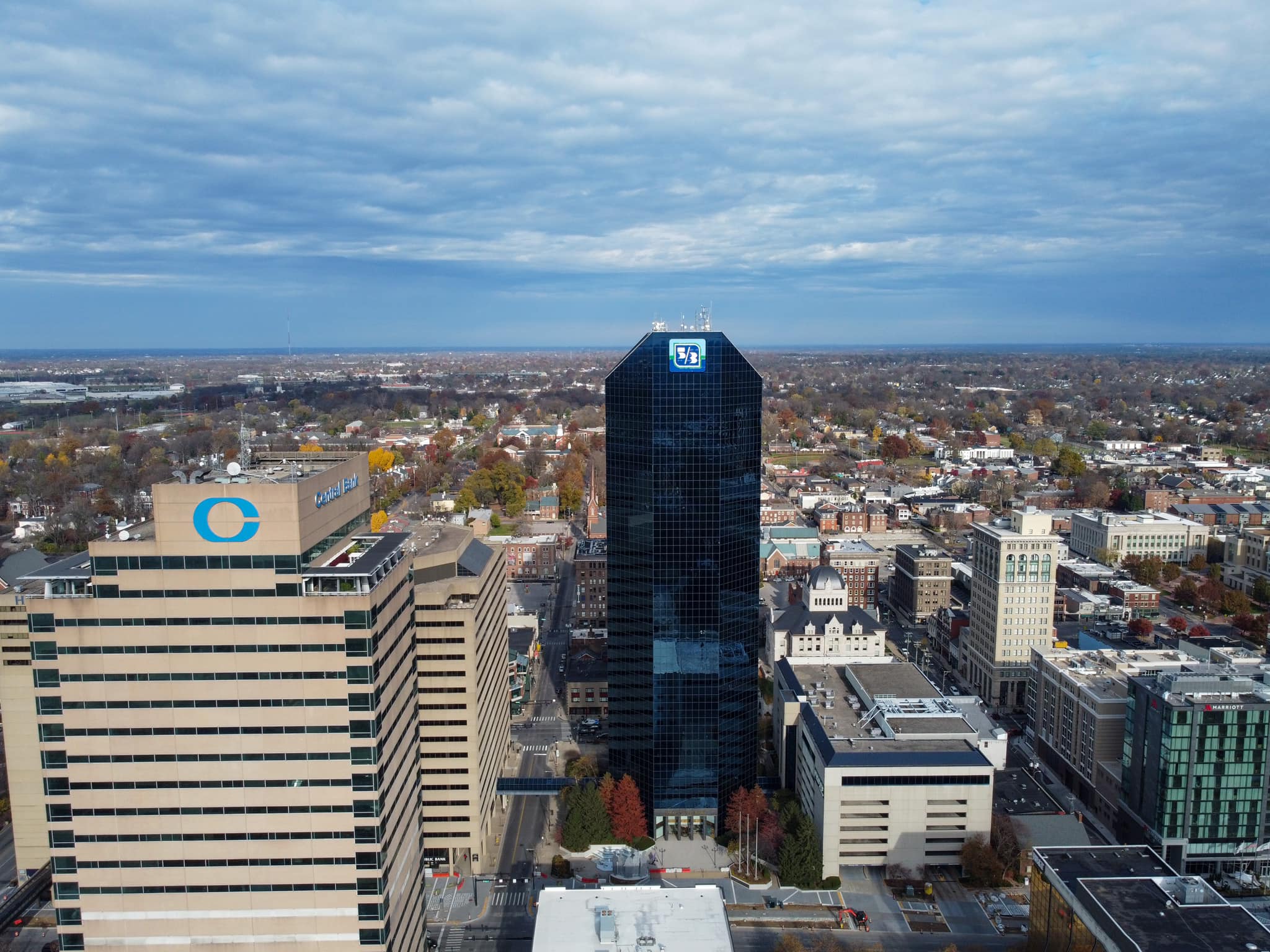
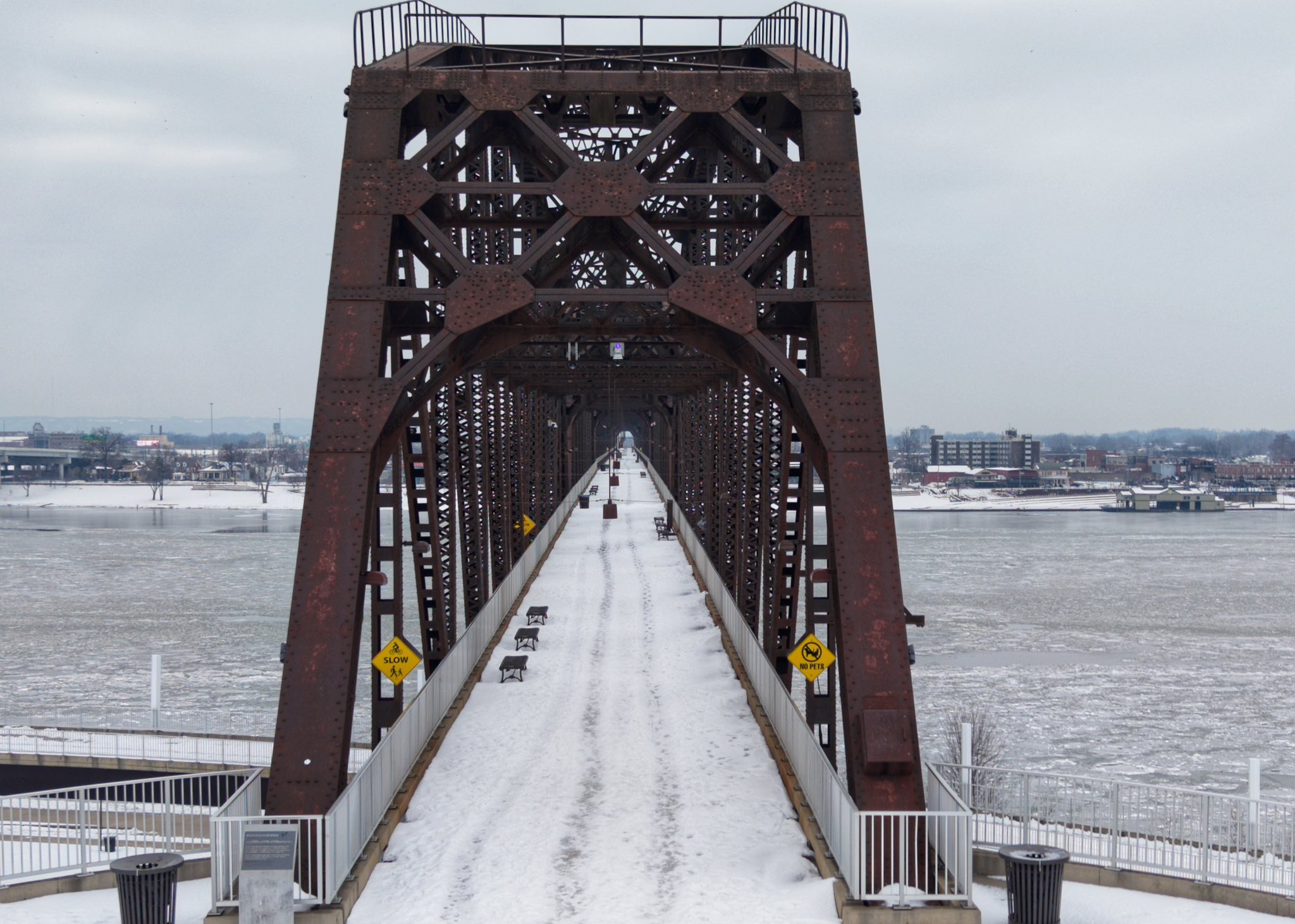
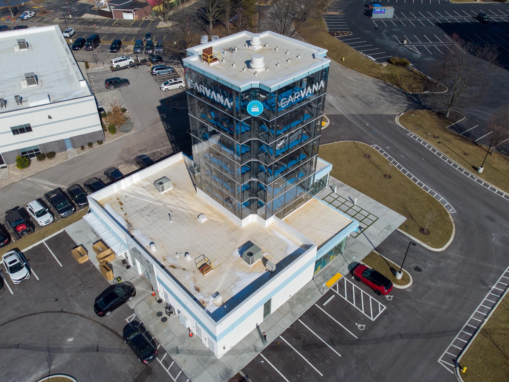
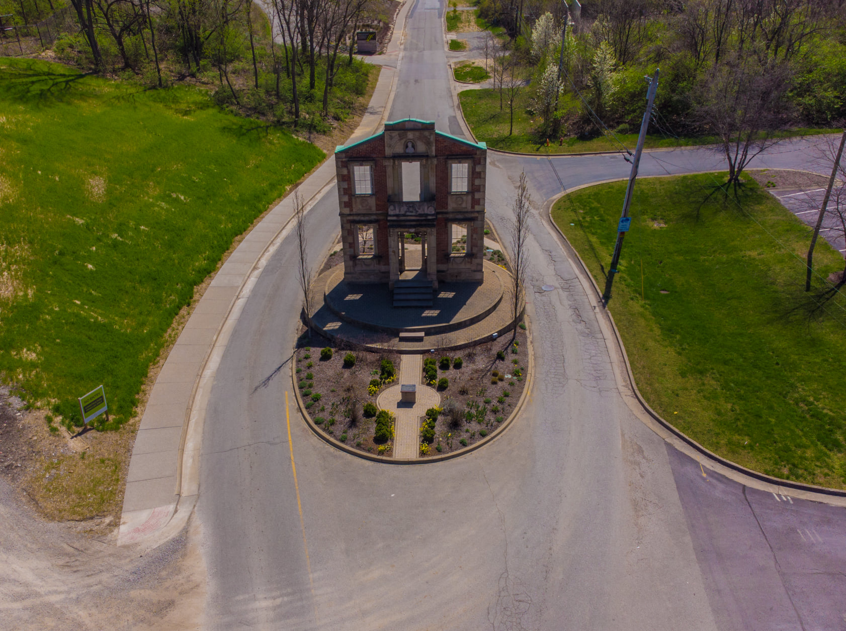
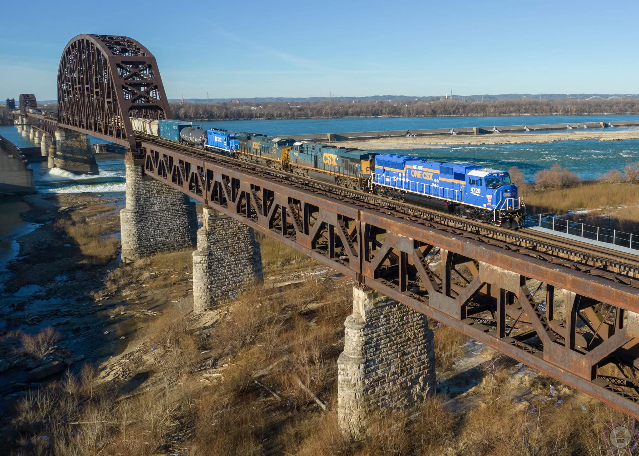
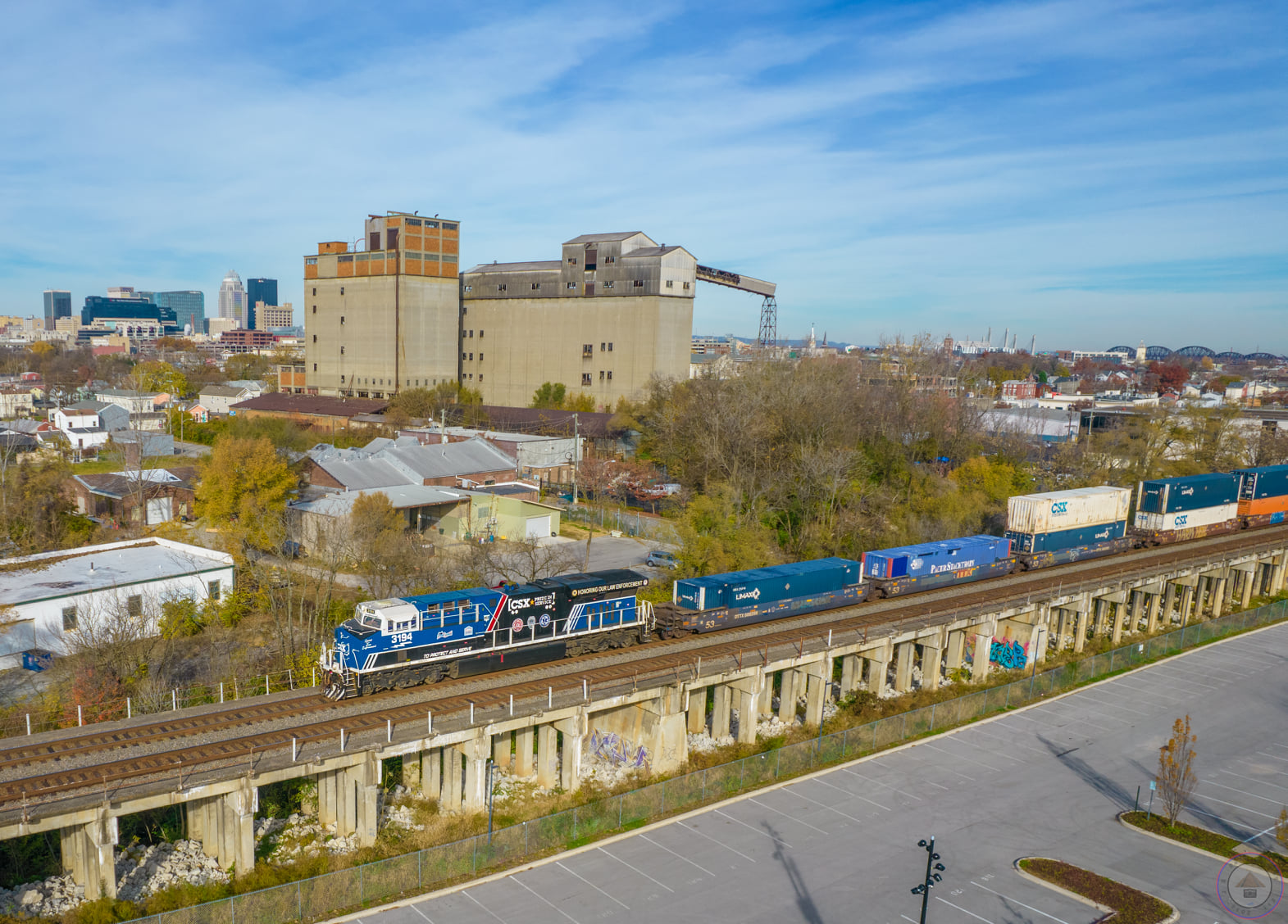
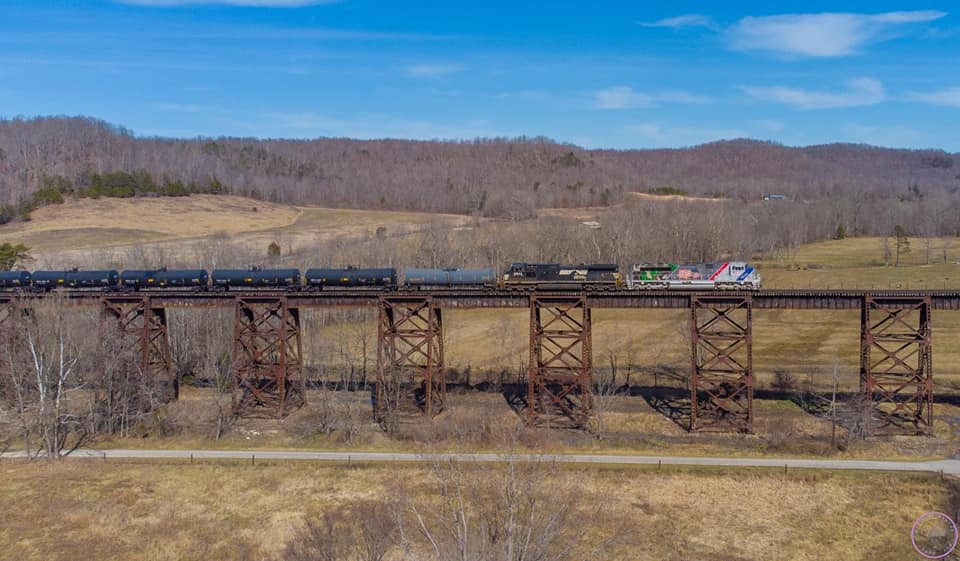
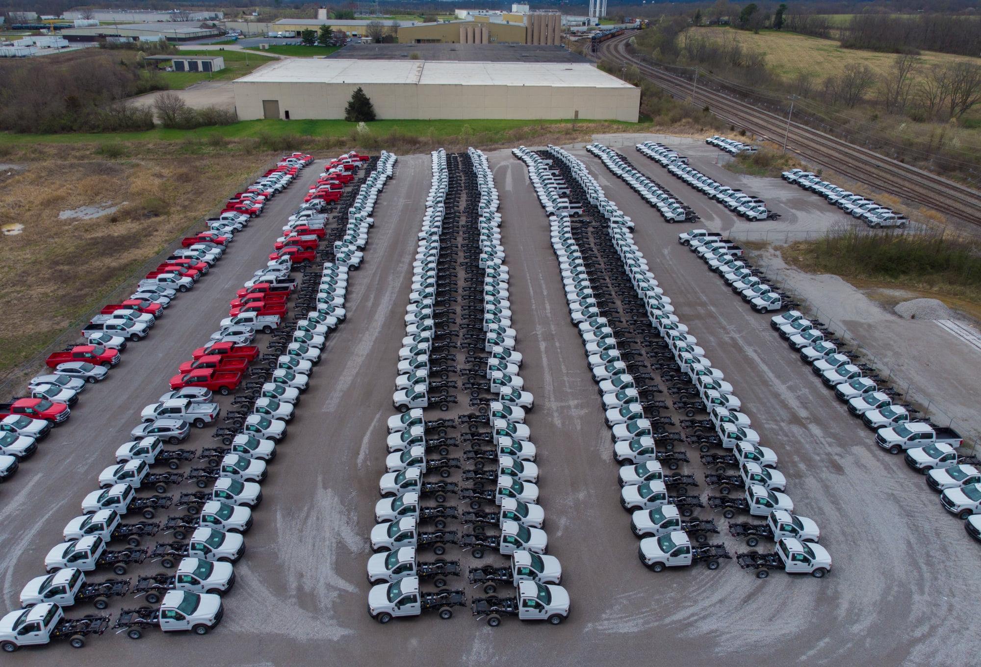
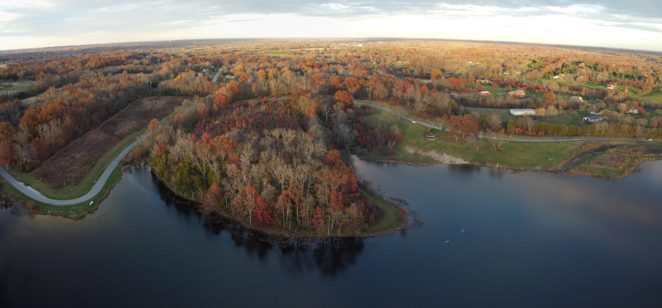
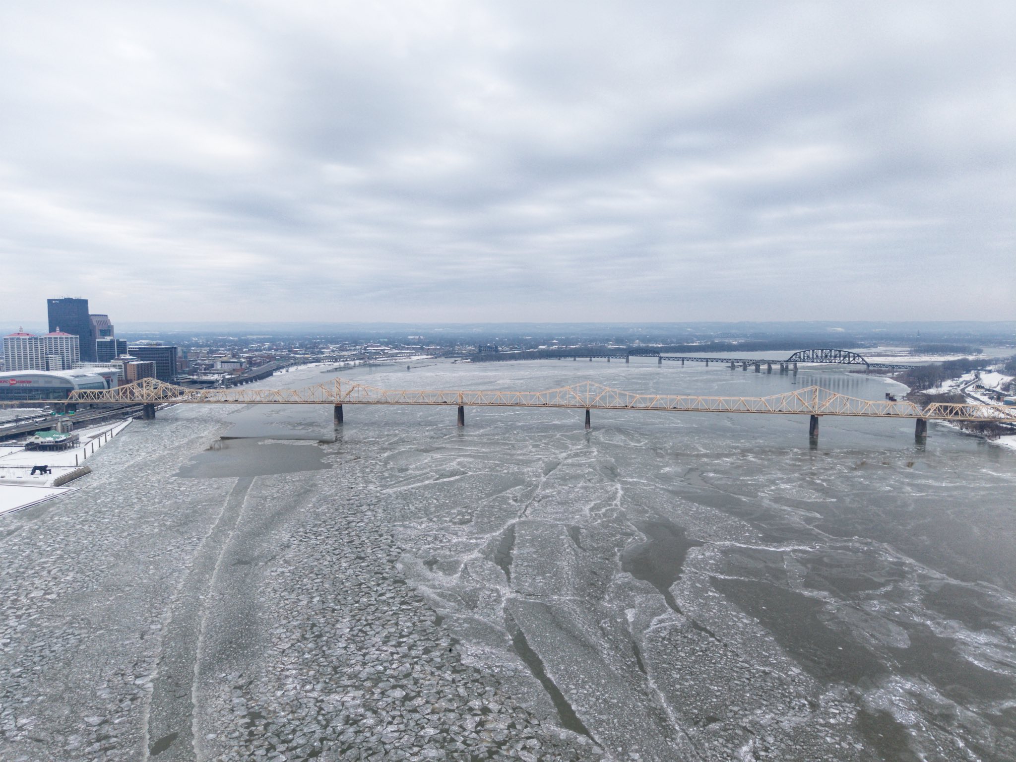
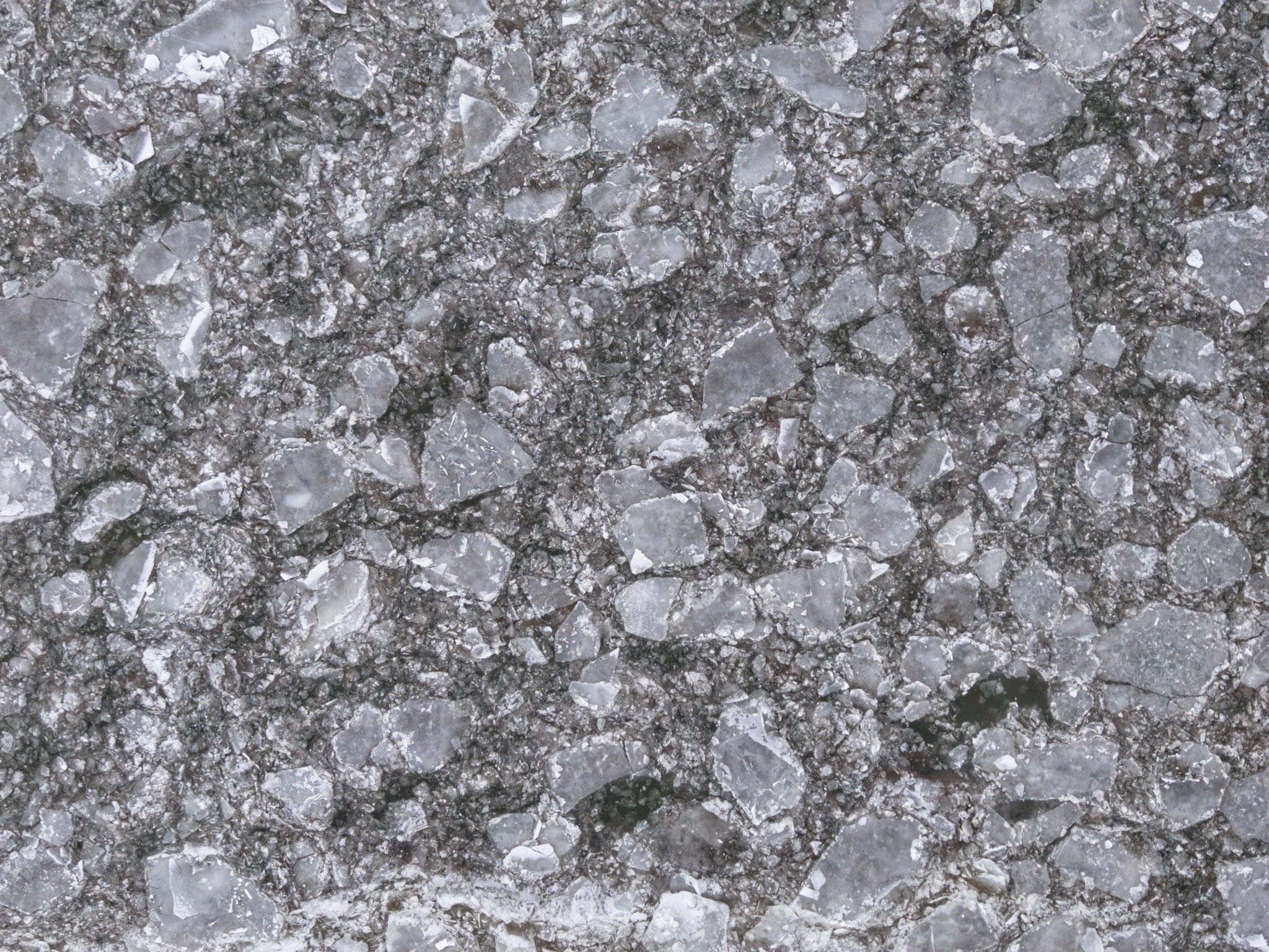
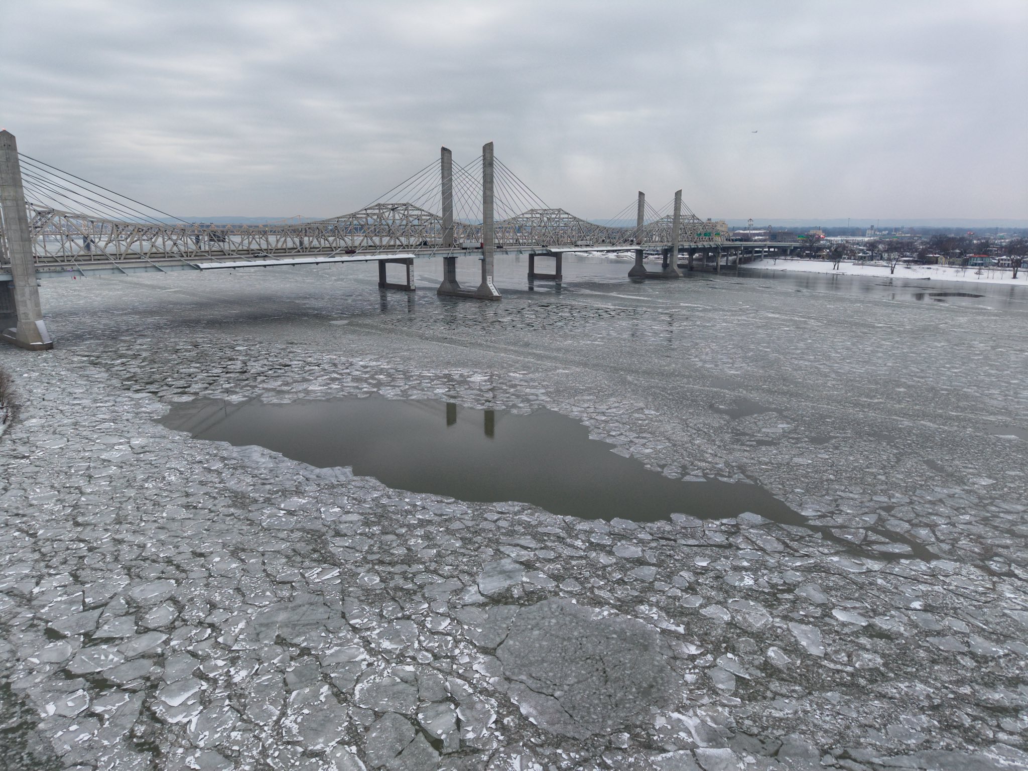
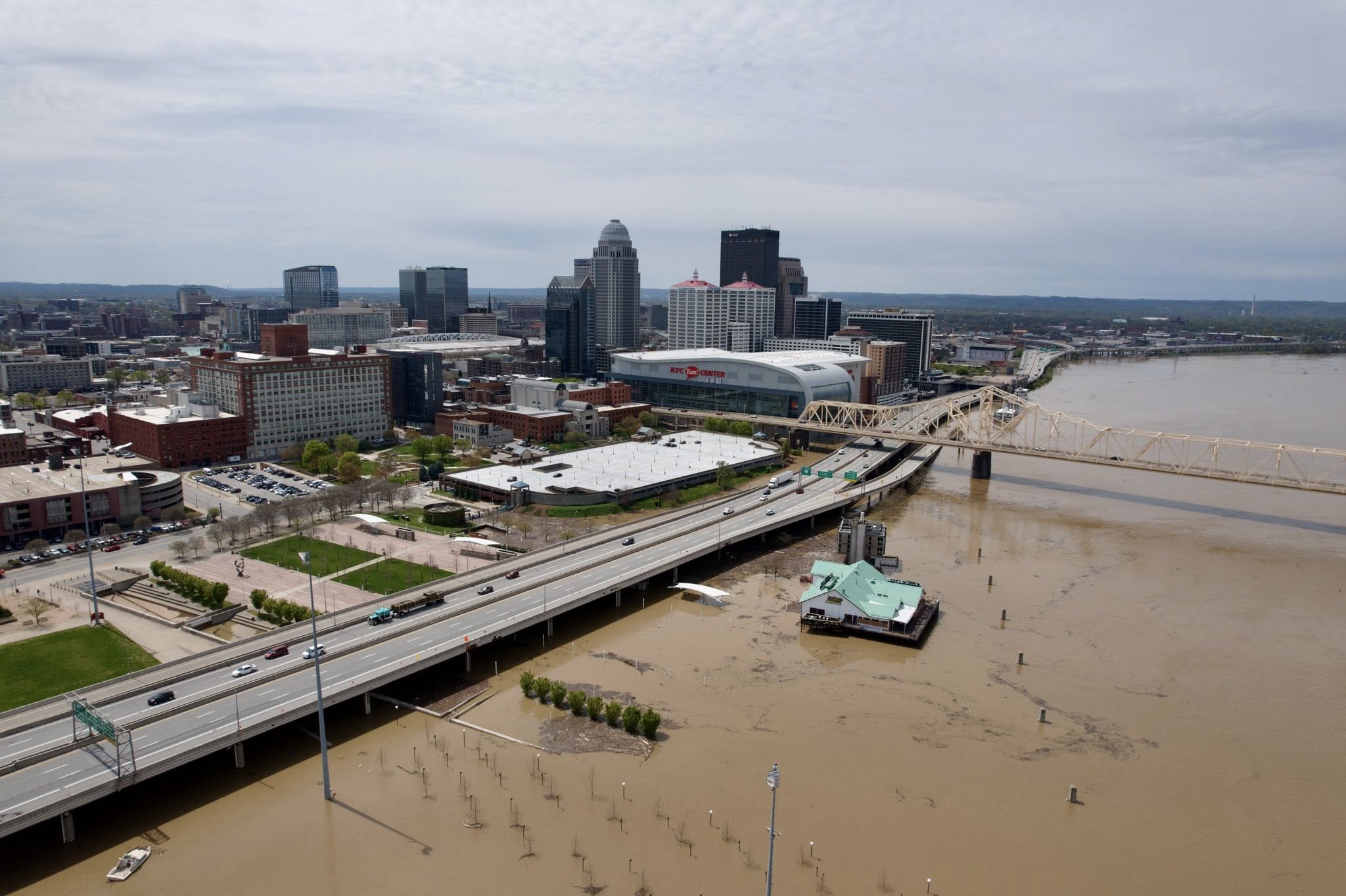
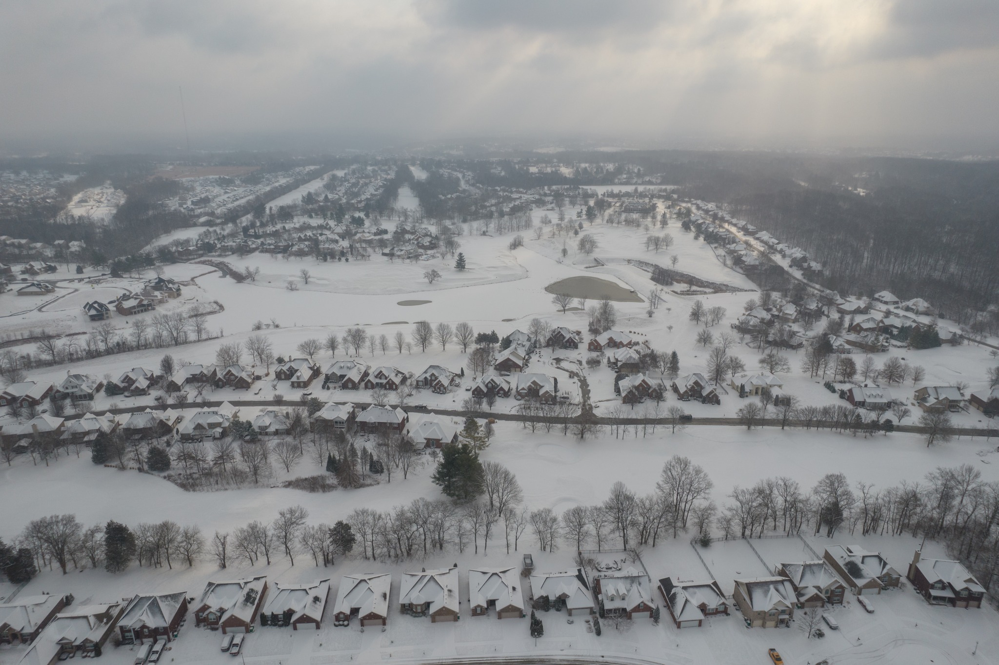
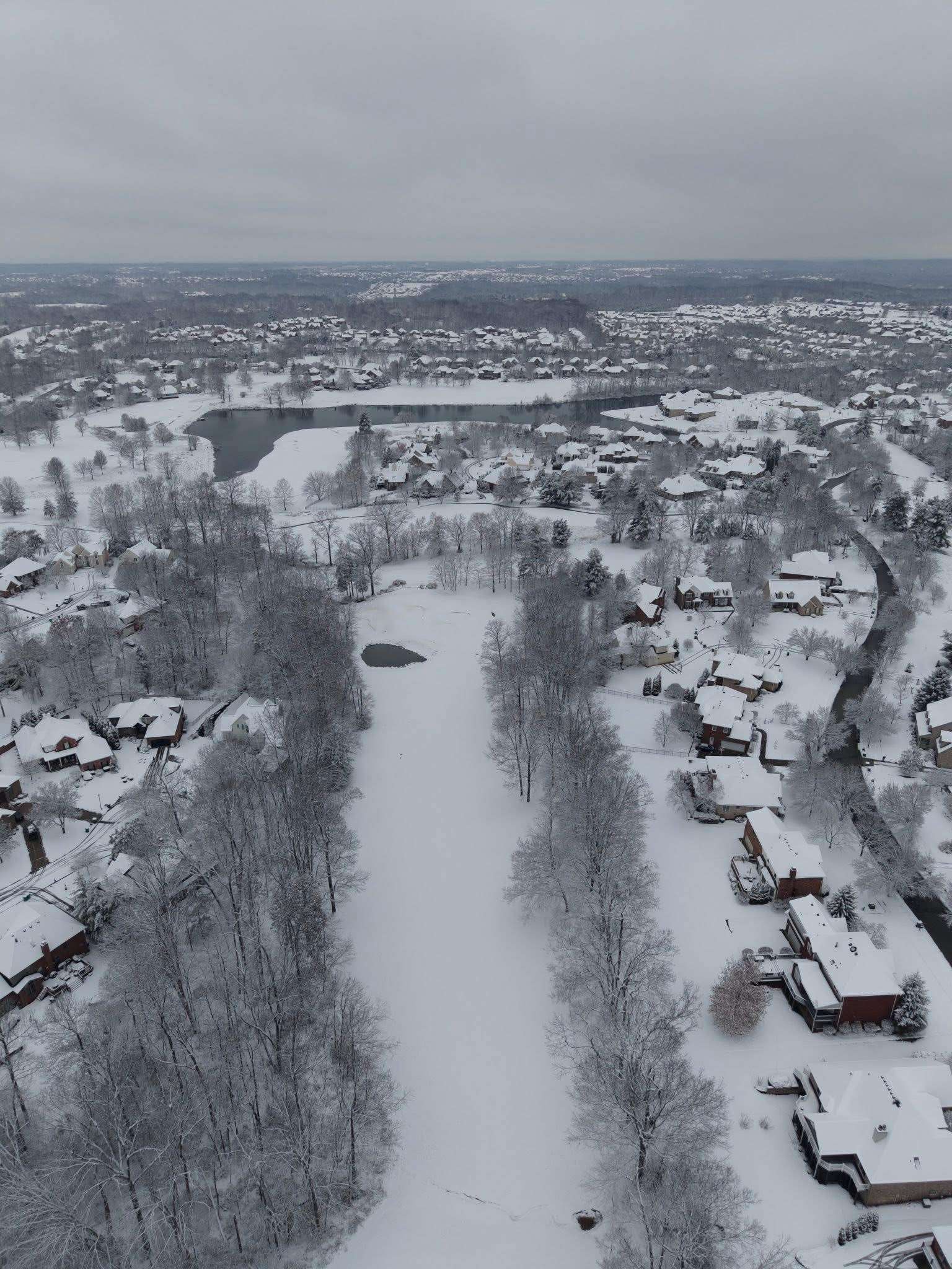
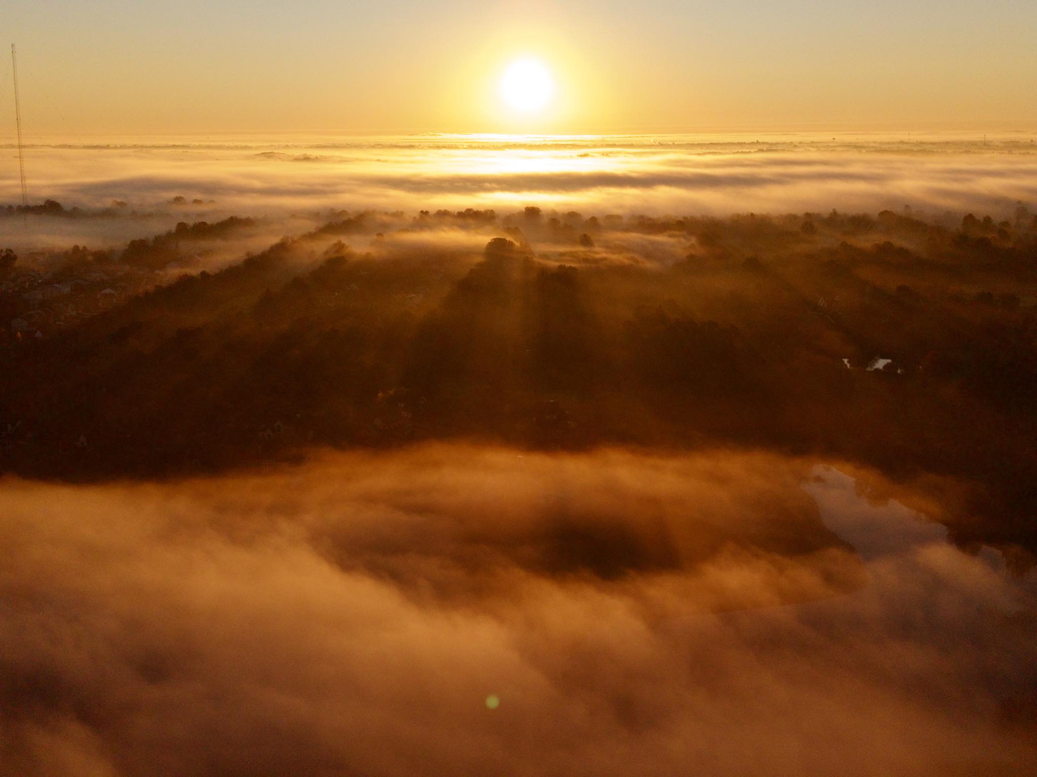
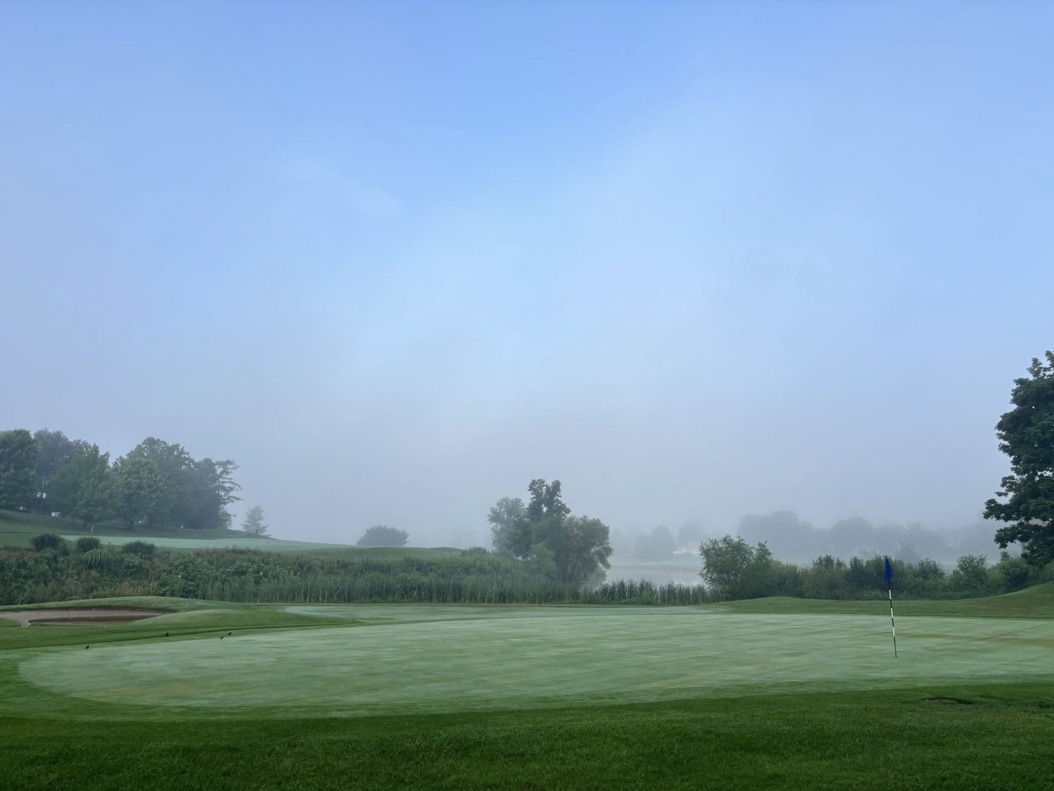
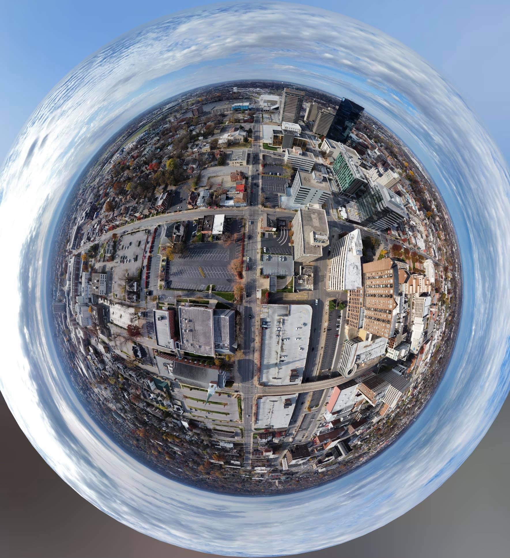
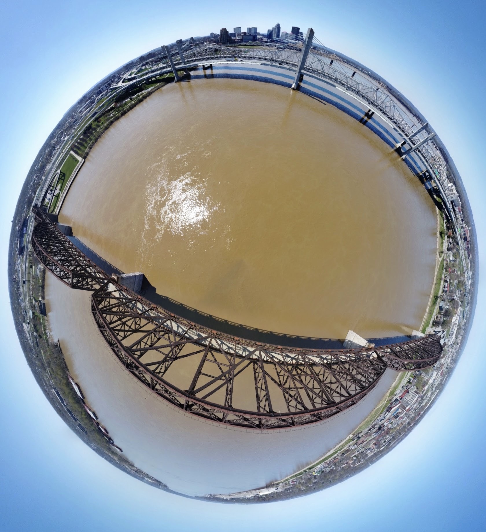
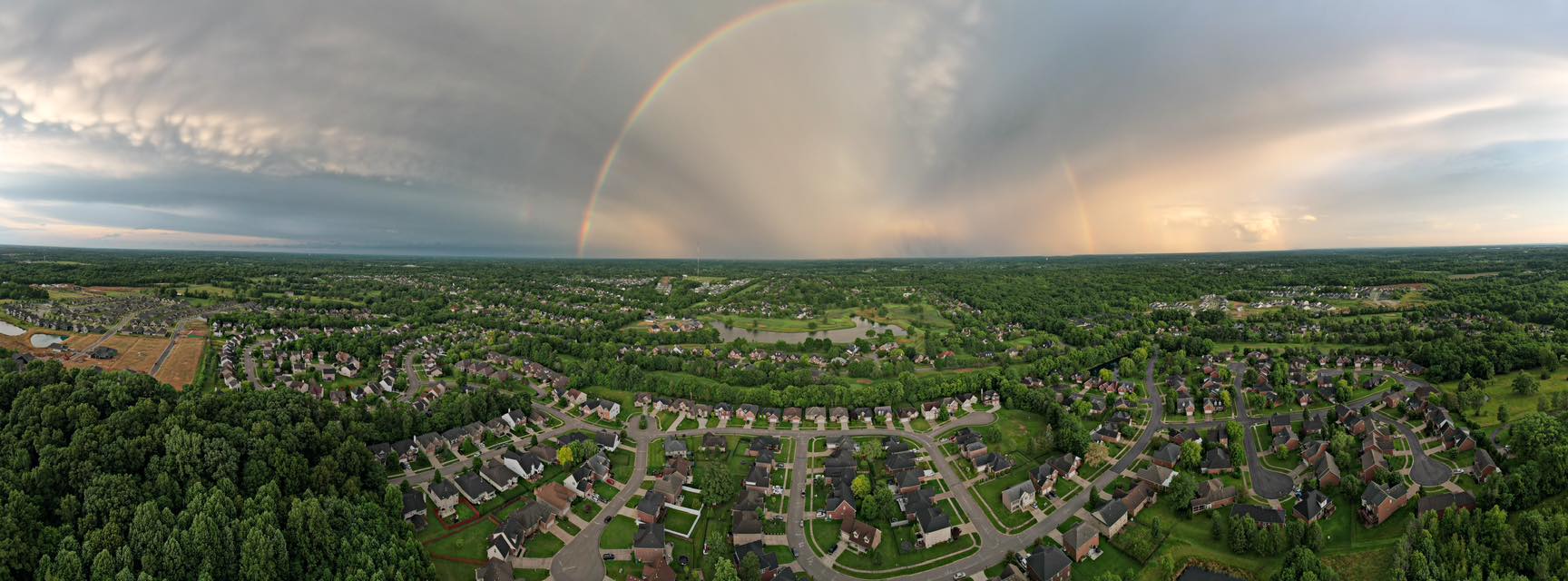
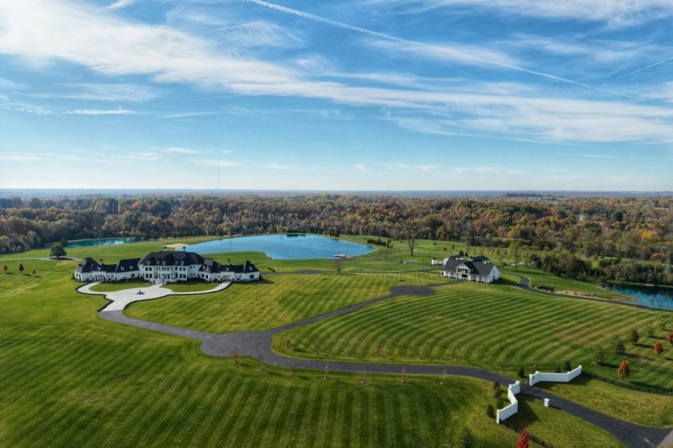
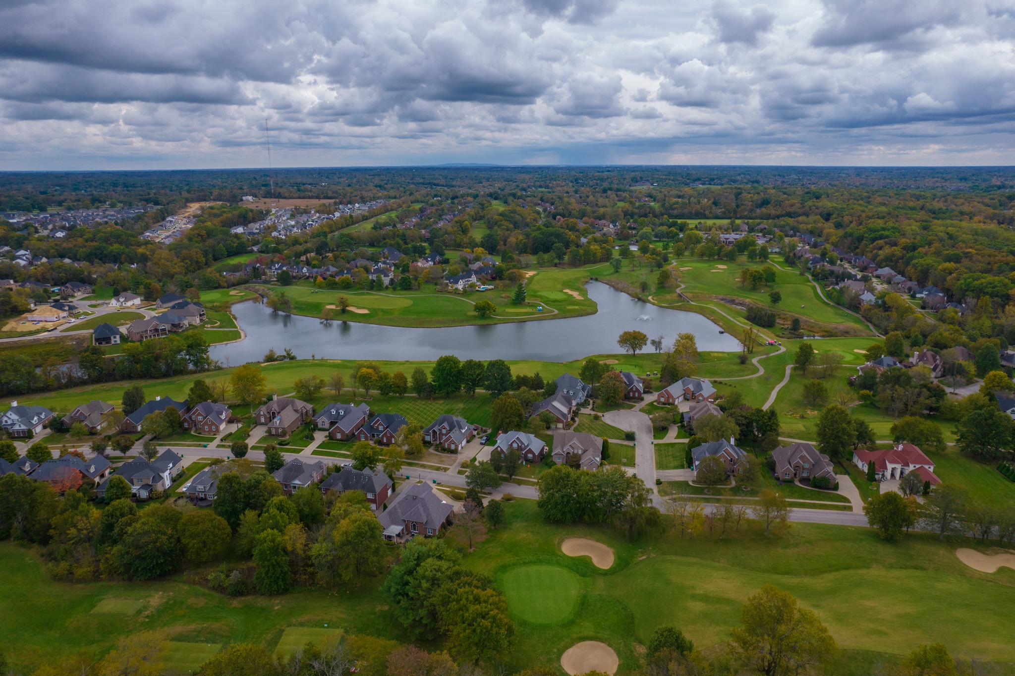
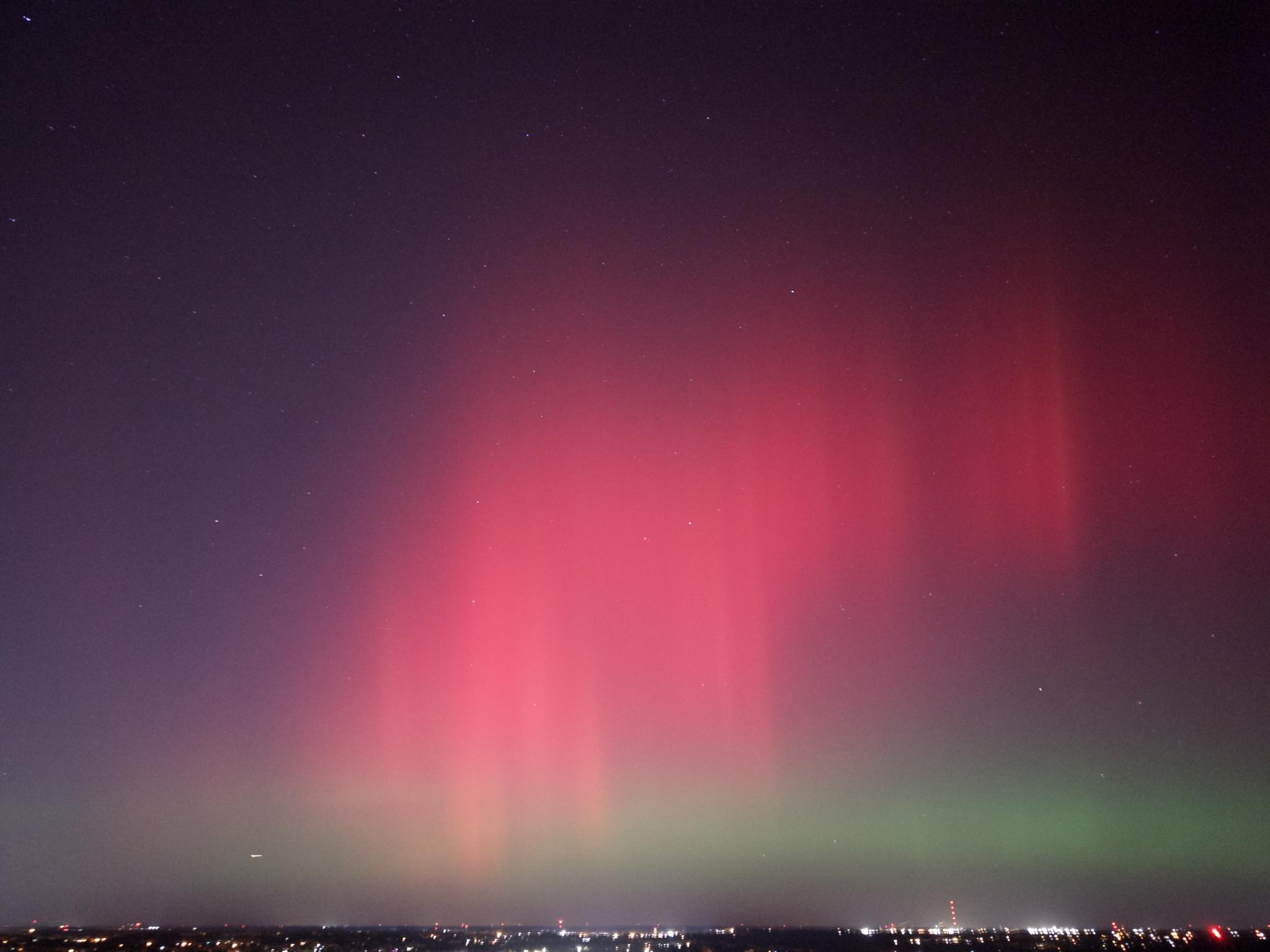
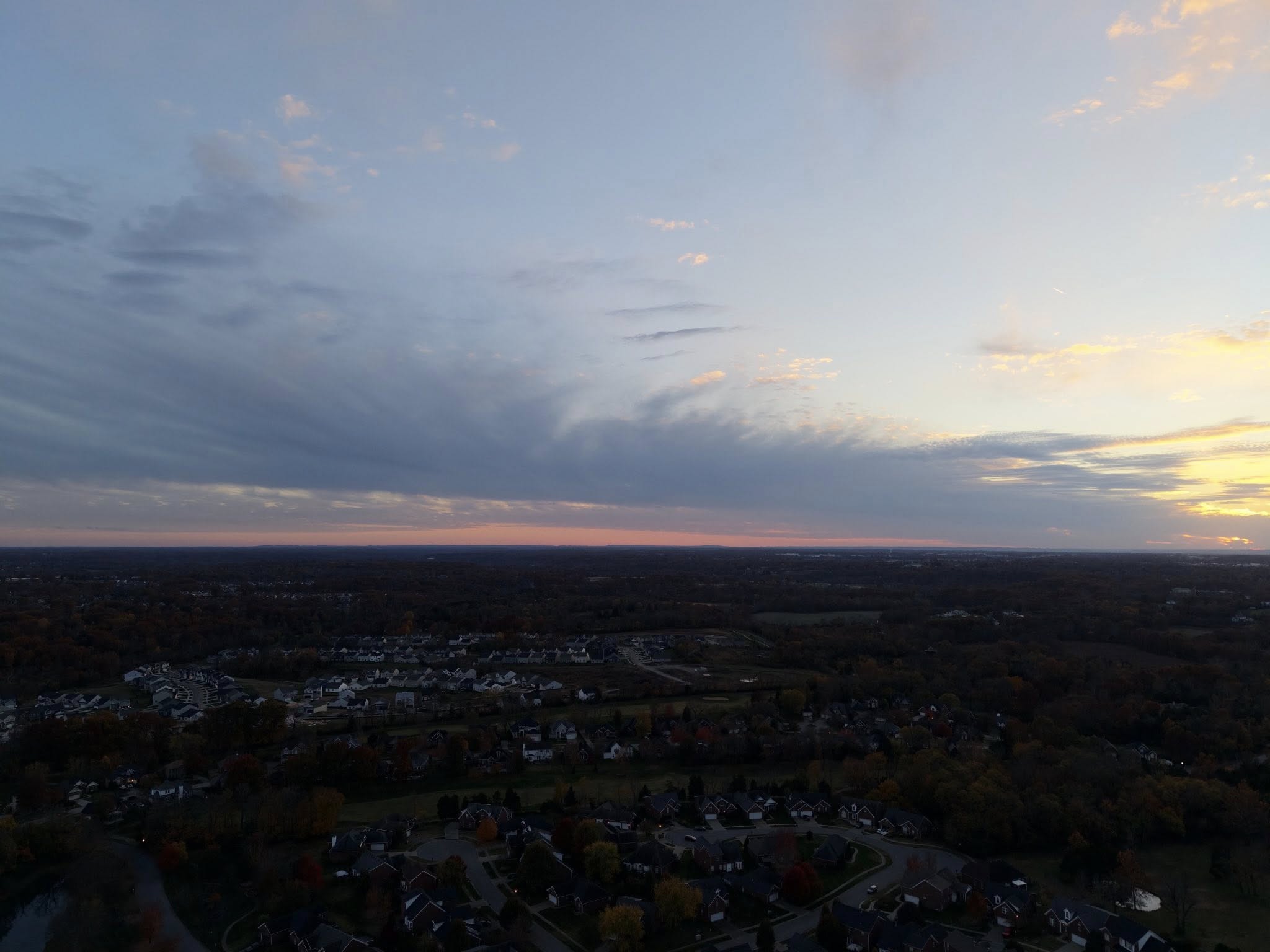
To help check airspace restrictions, evaluate the property scope, and provide an accurate quote, please fill out this quick project intake form.
Straight answers before you book
Yes. High-resolution roof photos and video are commonly accepted as supporting documentation for storm damage claims. We recommend confirming your specific carrier's documentation requirements ahead of time, and we're happy to shoot to match what your adjuster asks for.
No. Most flights only require access to airspace above the property, not entry into the home. We'll coordinate timing in advance and can complete most residential roof inspections without you present, as long as we have confirmed permission to fly.
Most single-property roof inspections or real estate shoots take 20-40 minutes on-site, depending on roof complexity and the deliverables requested. Larger commercial or industrial jobs may take longer — we'll give you a time estimate when we quote your project.
Yes. All flights are conducted under FAA Part 107 certification, and we carry liability insurance for every job. We also check local airspace restrictions (LAANC) before every flight to make sure we're cleared to fly at your location.
Turnaround depends on the deliverable. Raw media is typically available within 1-2 business days; edited packages or measurable roof reports may take a few days longer. We'll confirm an expected turnaround when we quote your project.
Rooted in Kentucky and focused on precision. Born and raised in Frankfort and now proud to call Louisville home, I've spent years mastering the art of aerial perspective.
What started with my first drone in 2019 has evolved into a dedicated mission to provide Kentucky businesses with high-resolution, professional-grade aerial data.
louisvilledroneservices@gmail.com
© 2026 LOUISVILLE DRONE SERVICES
A FAA PART 107 REMOTE PILOT CERTIFICATE HOLDER